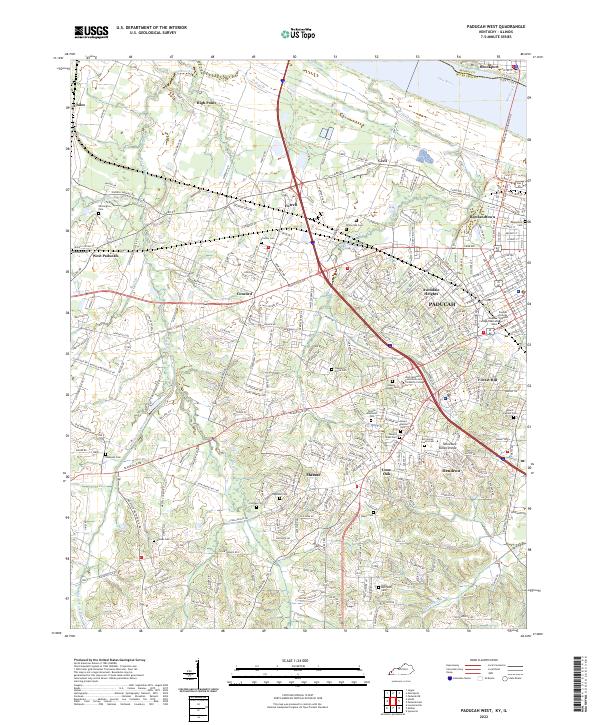
2022 Map of Paducah West
USGS Topo · Published 2022About this map
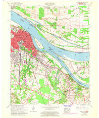
Paducah and its western outskirts are the focus of this contemporary geographic study, highlighting the expansion of residential and educational centers in McCracken County. The city landscape is anchored by institutions like the West Kentucky Community and Technical College and Daymar College Paducah Main, while the surrounding neighborhoods of Avondale Heights, Rowlandtown, and Hendron show the density of modern settlement. The area's topography is defined by the Tennessee Valley Divide, which separates the drainage systems flowing toward the Ohio River and its various tributaries including Massac Cr and Perkins Cr.
Find a feature on this map
55 named features on this map. Tap any name to fly to it.
Don’t see what you’re looking for? This feature index may not catch every label — zoom into the map to look around manually.
Map Details
Editions of this 2022 Paducah West Map
This is the sole edition of this map. No revisions or reprints were ever made.
Historical Maps of Cecil Through Time
11 maps found
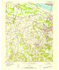
1953 Paducah East
McCracken County, KY
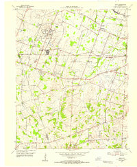
1954 Heath
McCracken County, KY
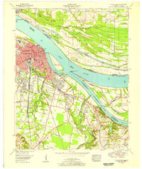
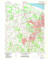
1954 Paducah West
McCracken County, KY
1958 Paducah East
McCracken County, KY
1958 Paducah West
McCracken County, KY
1978 Heath
McCracken County, KY
1982 Paducah East
McCracken County, KY
1982 Paducah West
McCracken County, KY
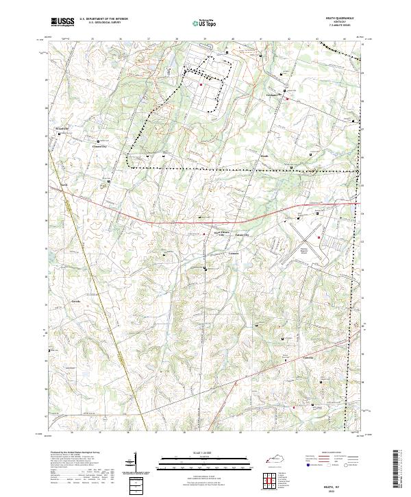
2022 Heath
McCracken County, KY
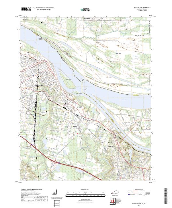
2022 Paducah East
McCracken County, KY
2022 Paducah West
McCracken County, KY