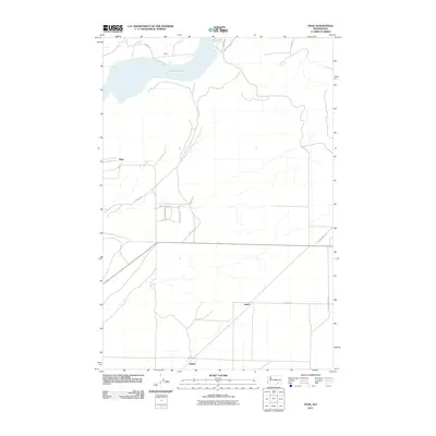
2011 Map of Page
USGS Topo · Published 2011About this map
Lake Sacajawea dominates the northern landscape of this Walla Walla County region, reflecting the engineered hydrology of the Snake River system. The small rural settlements of Votaw and Page are situated near the reservoir's banks, connected by a network of local routes like Votaw Rd and Van Hollebecke Rd. Further south, the map reveals the sparse agricultural settlement pattern typical of the eastern Washington interior, centered around the locales of Hatch and Adkins.
Find a feature on this map
20 named features on this map. Tap any name to fly to it.
Don’t see what you’re looking for? This feature index may not catch every label — zoom into the map to look around manually.
Map Details
Editions of this 2011 Page Map
This is the sole edition of this map. No revisions or reprints were ever made.
Other maps of this area

1915 · Wallulah
USGS Topo · 1:96,000

1918 · Wallula
USGS Topo · 1:125,000

1953 · Walla Walla
USGS Topo · 1:250,000

1958 · Walla Walla
USGS Topo · 1:250,000

1964 · Levey SE
USGS Topo · 1:24,000

1964 · Slater
USGS Topo · 1:24,000

1964 · Levey NE
USGS Topo · 1:24,000

1966 · Page
USGS Topo · 1:24,000

1966 · Snake River
USGS Topo · 1:24,000

1966 · Rulo
USGS Topo · 1:24,000