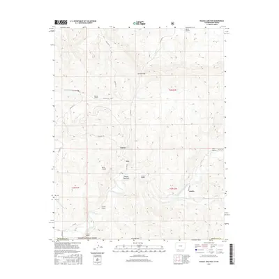
2016 Map of Pagosa Junction
USGS Topo · Published 2016About this map
Pagosa Junction and Gato serve as the primary focal points of this southern Colorado landscape, situated along the winding course of the San Juan River. The terrain is defined by a complex network of drainage systems, including Cat Creek and the Navajo River, which carve deep through the surrounding highlands. Significant geological features such as Monte Camado and the Cat Creek Gap dominate the northern and central sections, while the southern border extends into the Carson National Forest. The map documents a rugged rural infrastructure connected by several Indian Routes, including Indian Rte 161 and Indian Rte 152, reflecting the unique administrative and cultural history of this borderland area between Colorado and New Mexico.
Find a feature on this map
33 named features on this map. Tap any name to fly to it.
Don’t see what you’re looking for? This feature index may not catch every label — zoom into the map to look around manually.
Map Details
Editions of this 2016 Pagosa Junction Map
This is the sole edition of this map. No revisions or reprints were ever made.
Other maps of this area

1889 · Largo
USGS Topo · 1:250,000

1895 · Largo
USGS Topo · 1:250,000

1924 · Pagosa Springs
USGS Topo · 1:125,000

1927 · Pagosa Springs
USGS Topo · 1:125,000

1945 · Durango
USGS Topo · 1:250,000

1953 · Durango
USGS Topo · 1:250,000

1954 · Durango
USGS Topo · 1:250,000

1954 · Carracas
USGS Topo · 1:24,000

1954 · Aztec
USGS Topo · 1:250,000

1957 · Pagosa Junction
USGS Topo · 1:62,500