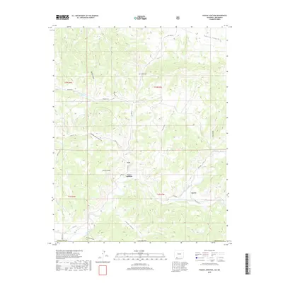
2019 Map of Pagosa Junction
USGS Topo · Published 2019About this map
Pagosa Junction and the small settlement of Gato sit at a geographic crossroads in Southern Colorado, where the winding San Juan River meets the drainages of Cat Creek. The terrain is defined by complex canyon systems, including Conejo Canyon and Frijoles Canyon to the south, and the prominent height of Monte Camado rising above the river valley. To the east, the settlement of Juanita marks the confluence of the San Juan and Navajo River, a key corridor for local travel along CO Road 500.
Find a feature on this map
33 named features on this map. Tap any name to fly to it.
Don’t see what you’re looking for? This feature index may not catch every label — zoom into the map to look around manually.
Map Details
Editions of this 2019 Pagosa Junction Map
This is the sole edition of this map. No revisions or reprints were ever made.
Other maps of this area

1889 · Largo
USGS Topo · 1:250,000

1895 · Largo
USGS Topo · 1:250,000

1924 · Pagosa Springs
USGS Topo · 1:125,000

1927 · Pagosa Springs
USGS Topo · 1:125,000

1945 · Durango
USGS Topo · 1:250,000

1953 · Durango
USGS Topo · 1:250,000

1954 · Durango
USGS Topo · 1:250,000

1954 · Carracas
USGS Topo · 1:24,000

1954 · Aztec
USGS Topo · 1:250,000

1957 · Pagosa Junction
USGS Topo · 1:62,500