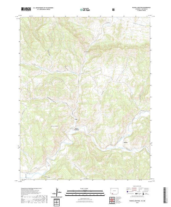
2022 Map of Pagosa Junction
USGS Topo · Published 2022About this map
The San Juan River and Navajo River converge near the southern border of Archuleta County in this survey, framing the small settlements of Pagosa Junction, Gato, and Juanita. This area of southwestern Colorado is characterized by a complex network of canyons and high mesas, including Kearns Canyon and Conejo Canyon. The presence of the Old Carr Ditch along the river bottom suggests the historical importance of irrigation and water management in this arid landscape. Several Indian Routes, such as Indian Rte 151 and Indian Rte 152, navigate the local terrain, crossing seasonal watercourses like Round Meadow Cr and passing prominent landmarks like Monte Camado. The map details the transition from the river valley to the steep divides of Cat Creek Gap and Deep Canyon, providing a clear view of the rural road network and canyon geography that has long shaped movement through this region.
Find a feature on this map
35 named features on this map. Tap any name to fly to it.
Don’t see what you’re looking for? This feature index may not catch every label — zoom into the map to look around manually.
Map Details
Editions of this 2022 Pagosa Junction Map
This is the sole edition of this map. No revisions or reprints were ever made.
Other maps of this area

1889 · Largo
USGS Topo · 1:250,000

1895 · Largo
USGS Topo · 1:250,000

1924 · Pagosa Springs
USGS Topo · 1:125,000

1927 · Pagosa Springs
USGS Topo · 1:125,000

1945 · Durango
USGS Topo · 1:250,000

1953 · Durango
USGS Topo · 1:250,000

1954 · Durango
USGS Topo · 1:250,000

1954 · Carracas
USGS Topo · 1:24,000

1954 · Aztec
USGS Topo · 1:250,000

1957 · Pagosa Junction
USGS Topo · 1:62,500