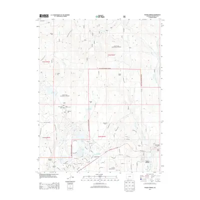
2013 Map of Pagosa Springs
USGS Topo · Published 2013About this map
Pagosa Springs is the central hub of this Archuleta County study, showing the town at the intersection of Us-160 and the San Juan River. The landscape is a complex network of water management and forest service operations, evidenced by the numerous irrigation features like Dutton Ditch, Fourmile Ditch, and Meso Ditch that weave through the San Juan National Forest. Cultural and civic landmarks are prominently noted, including the Hilltop Cem, the Pagosa Springs District Ranger Office, and the Piedra Forest Service Facility. Residential growth and recreation are apparent in the clusters surrounding Lake Pagosa, Village Lake, and Lake Hatcher. Transportation across the rugged terrain is defined by a mix of established roads like Durango Rd and a significant trail system, including the Upper Rim Trail 312 and Coyote Hill Trail 314.
Find a feature on this map
81 named features on this map. Tap any name to fly to it.
Don’t see what you’re looking for? This feature index may not catch every label — zoom into the map to look around manually.
Map Details
Editions of this 2013 Pagosa Springs Map
This is the sole edition of this map. No revisions or reprints were ever made.
Other maps of this area

1913 · Summitville
USGS Topo · 1:125,000

1915 · Summitville
USGS Topo · 1:125,000

1924 · Pagosa Springs
USGS Topo · 1:125,000

1927 · Pagosa Springs
USGS Topo · 1:125,000

1945 · Durango
USGS Topo · 1:250,000

1953 · Durango
USGS Topo · 1:250,000

1954 · Durango
USGS Topo · 1:250,000

1957 · Chromo
USGS Topo · 1:62,500

1957 · Wolf Creek Pass
USGS Topo · 1:62,500

1957 · Pagosa Junction
USGS Topo · 1:62,500