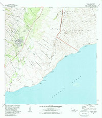
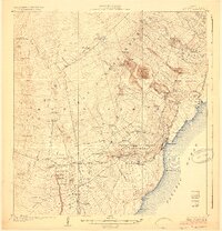
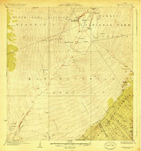
1981 Map of Pahala
USGS Topo · Published 1985About this map
The settlement of Pahala serves as the primary hub on this southeastern Hawaii landscape, reflecting the community’s layout in the early 1980s. Surrounding the town, the land is defined by a historical agricultural and ranching legacy, evidenced by the presence of Kapapala and the former location of Keaiwa Camp. These labels point to the region’s plantation-era history, where labor camps were once vital to the local economy. The geography transition from the residential streets of the town toward the higher elevations and coastal reaches illustrates the traditional land divisions typical of the Island of Hawaii. This survey, revised by the Geological Survey and the Hawaii Dept. of Transportation, documents the infrastructure and land use patterns of the Kau District during a period of modern development.
Find a feature on this map
3 named features on this map. Tap any name to fly to it.
Don’t see what you’re looking for? This feature index may not catch every label — zoom into the map to look around manually.
Map Details
Editions of this 1981 Pahala Map
2 editions found

Other maps of this area
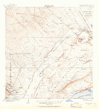
1921 · Kilauea
USGS Topo · 1:62,500
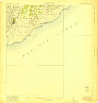
1923 · Pahala
USGS Topo · 1:62,500
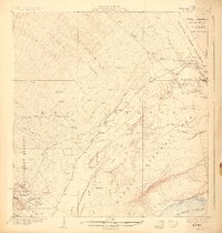
1924 · Kilauea
USGS Topo · 1:62,500
1924 · Honuapo
USGS Topo · 1:62,500
1928 · Mauna Loa
USGS Topo · 1:62,500

1954 · Hawaii South
USGS Topo · 1:250,000

1959 · Hawaii South
USGS Topo · 1:250,000

1961 · Hawaii South
USGS Topo · 1:250,000

1962 · Hawaii South
USGS Topo · 1:250,000
1962 · Naalehu
USGS Topo · 1:24,000