
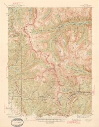
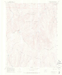
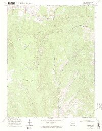
1994 Map of Pahlone Peak
USGS Topo · Published 1998About this map
Continental Divide winds across this high-altitude landscape of the Central Rockies, marking the boundary between the Gunnison National Forest and San Isabel National Forest. The map documents a rugged extraction and transit corridor centered on Monarch Pass and Old Monarch Pass. Evidence of industrial history is concentrated near Lime Ridge, where the Pinnacle Mine and an extensive strip mine are situated alongside numerous prospects. This intersection of mining and recreation is further illustrated by the presence of an Aerial Tram near a communication tower on Monarch Ridge. Recreational landmarks like the Colorado Trail traverse the steep terrain, passing near Pahlone Peak and Mount Peck. The hydrology is defined by steep drainages including Agate Creek and Porphyry Creek, which carve through the dense network of peaks and ridges in Chaffee, Gunnison, and Saguache counties.
Find a feature on this map
43 named features on this map. Tap any name to fly to it.
Don’t see what you’re looking for? This feature index may not catch every label — zoom into the map to look around manually.
Map Details
Editions of this 1994 Pahlone Peak Map
This is the sole edition of this map. No revisions or reprints were ever made.
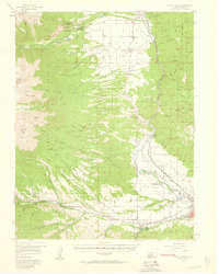
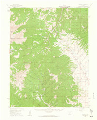
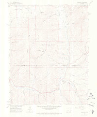
Other maps of this area

1940 · Garfield
USGS Topo · 1:62,500
1945 · Garfield
USGS Topo · 1:62,500
1956 · Poncha Springs
USGS Topo · 1:62,500

1956 · Montrose
USGS Topo · 1:250,000

1959 · Montrose
USGS Topo · 1:250,000
1959 · Bonanza
USGS Topo · 1:62,500

1960 · Montrose
USGS Topo · 1:250,000
1964 · Sargents
USGS Topo · 1:24,000
1967 · Sargents Mesa
USGS Topo · 1:24,000
1967 · Chester
USGS Topo · 1:24,000