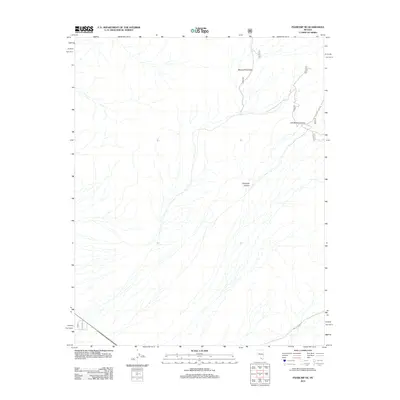
2012 Map of Pahrump NE
USGS Topo · Published 2012About this map
The Spring Mountains dominate the eastern reaches of this desert landscape, characterized by complex drainage patterns and canyon systems. In the northeastern corner, Lee Spring Canyon and Carpenter Canyon cut through the high ground, providing distinct topographical markers in an otherwise arid expanse. The terrain is marked by numerous seasonal wash channels that fan out across the alluvial plains, illustrating the water flow patterns typical of this Nevada region. Transport and access are defined by a network of forest and local routes, including Trout Canyon Rd and Middle St, alongside several numbered Forest Service roads like 568a and 569a. These trails and roads trace the base of the mountains and venture into the deeper canyons, reflecting the area's use for recreation and land management within the southern Nevada wilderness.
Find a feature on this map
13 named features on this map. Tap any name to fly to it.
Don’t see what you’re looking for? This feature index may not catch every label — zoom into the map to look around manually.
Map Details
Editions of this 2012 Pahrump NE Map
This is the sole edition of this map. No revisions or reprints were ever made.
Other maps of this area

1907 · Las Vegas
USGS Topo · 1:250,000

1908 · Las Vegas
USGS Topo · 1:250,000

1954 · Las Vegas
USGS Topo · 1:250,000

1957 · Las Vegas
USGS Topo · 1:250,000

1957 · Mt. Stirling
USGS Topo · 1:62,500

1957 · Charleston Peak
USGS Topo · 1:62,500

1957 · Mountain Springs
USGS Topo · 1:62,500
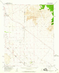
1958 · Pahrump
USGS Topo · 1:62,500

1959 · Las Vegas
USGS Topo · 1:250,000

1962 · Las Vegas
USGS Topo · 1:250,000