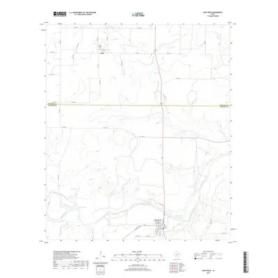
2019 Map of Paint Rock
USGS Topo · Published 2019About this map
Paint Rock serves as the focal point for this section of West Texas, situated along the banks of the Concho River. The town's grid is detailed with street names like Colorado St and San Saba St near the Concho County WCID 1 Lake. To the north, the small community of Olfen is marked by the presence of the Saint Boniface Cem, a key landmark for genealogical research in this rural portion of the Concho Valley.
Find a feature on this map
47 named features on this map. Tap any name to fly to it.
Don’t see what you’re looking for? This feature index may not catch every label — zoom into the map to look around manually.
Map Details
Editions of this 2019 Paint Rock Map
This is the sole edition of this map. No revisions or reprints were ever made.
Other maps of this area

1891 · Hayrick
USGS Topo · 1:125,000

1892 · San Angelo
USGS Topo · 1:125,000

1892 · Eden
USGS Topo · 1:125,000

1892 · Ballinger
USGS Topo · 1:125,000

1894 · Hayrick
USGS Topo · 1:125,000

1896 · Eden
USGS Topo · 1:125,000

1921 · Lowake
USGS Topo · 1:31,680

1921 · Spur Creek
USGS Topo · 1:31,680

1921 · Rowena
USGS Topo · 1:31,680

1925 · Ballinger 3-d
USGS Topo · 1:48,000