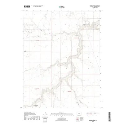
2019 Map of Painted Canyon
USGS Topo · Published 2019About this map
The Purgatoire River carves a deep, winding course through this section of Las Animas County, creating the dramatic relief of Purgatoire Canyon and Painted Canyon. This high-desert landscape is defined by its complex drainage network, where seasonal waterways like Van Bremer Arroyo and Luning Arroyo have etched deep recesses into the earth. The area's topography is further punctuated by The Hogback, a prominent ridge that rises above the surrounding canyons and draws.
Find a feature on this map
21 named features on this map. Tap any name to fly to it.
Don’t see what you’re looking for? This feature index may not catch every label — zoom into the map to look around manually.
Map Details
Editions of this 2019 Painted Canyon Map
This is the sole edition of this map. No revisions or reprints were ever made.
Other maps of this area

1891 · Mesa De Maya
USGS Topo · 1:125,000

1892 · Elmoro
USGS Topo · 1:125,000

1893 · Elmoro
USGS Topo · 1:125,000

1893 · Mesa de Maya
USGS Topo · 1:125,000

1897 · Elmoro
USGS Topo · 1:125,000

1954 · Trinidad
USGS Topo · 1:250,000

1955 · La Junta
USGS Topo · 1:250,000

1955 · Trinidad
USGS Topo · 1:250,000

1958 · La Junta
USGS Topo · 1:250,000

1958 · Trinidad
USGS Topo · 1:250,000