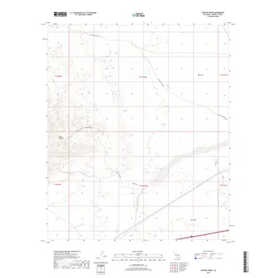
2018 Map of Painted Gorge
USGS Topo · Published 2018About this map
The Old Overland Stage Rte snakes through the arid landscape of Imperial County, tracing a historic corridor of travel across the West Mesa and into the foothills. This 2018 survey highlights a region of stark topographical contrast, where the sharp elevations of the Coyote Mountains give way to the expansive Yuha Desert. The geography is defined by a network of seasonal drainages, most notably Coyote Wash and Palm Canyon Wash, which serve as the primary hydrologic features in this desert environment.
Find a feature on this map
18 named features on this map. Tap any name to fly to it.
Don’t see what you’re looking for? This feature index may not catch every label — zoom into the map to look around manually.
Map Details
Editions of this 2018 Painted Gorge Map
This is the sole edition of this map. No revisions or reprints were ever made.
Other maps of this area

1915 · El Centro
USGS Topo · 1:125,000

1931 · Carrizo
USGS Topo · 1:125,000

1939 · Jacumba
USGS Topo · 1:62,500

1940 · Plaster City
USGS Topo · 1:62,500

1940 · Coyote Wells
USGS Topo · 1:62,500

1942 · El Centro
USGS Topo · 1:250,000

1942 · Carrizo Mtn
USGS Topo · 1:62,500

1942 · Jacumba
USGS Topo · 1:62,500

1943 · Coyote Wells
USGS Topo · 1:62,500

1944 · Plaster City
USGS Topo · 1:62,500