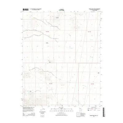
2015 Map of Painted Rock Wash
USGS Topo · Published 2015About this map
Painted Rock Spring marks a vital water point in this arid stretch of the eastern Mojave Desert within San Bernardino County. The landscape is defined by the rugged elevations of the Little Piute Mountains and the prominent Pilot Peak, which overlook a complex network of ephemeral drainage systems including Big Wash, Colton Wash, and Sunflower Wash. These desert washes represent the primary hydrological features of the region, converging toward the low-lying Ward Valley in the east. This modern survey by the U.S. Geological Survey illustrates the enduring topography of a region where water sources like Granite Tank and the namesake Painted Rock Wash have historically dictated movement and survival in the high desert.
Find a feature on this map
14 named features on this map. Tap any name to fly to it.
Don’t see what you’re looking for? This feature index may not catch every label — zoom into the map to look around manually.
Map Details
Editions of this 2015 Painted Rock Wash Map
This is the sole edition of this map. No revisions or reprints were ever made.
Other maps of this area

1942 · Amboy
USGS Topo · 1:250,000

1943 · Center Hills
USGS Topo · 1:62,500

1943 · Amboy
USGS Topo · 1:250,000

1943 · Essex
USGS Topo · 1:62,500

1943 · Turtle Mts.
USGS Topo · 1:62,500

1954 · Needles
USGS Topo · 1:250,000

1954 · Turtle Mountains
USGS Topo · 1:62,500

1956 · Needles
USGS Topo · 1:250,000

1956 · Milligan
USGS Topo · 1:62,500

1956 · Essex
USGS Topo · 1:62,500