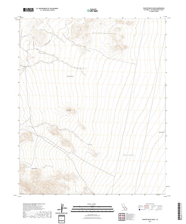
2021 Map of Painted Rock Wash
USGS Topo · Published 2021About this map
Little Piute Mountains rise above the arid expanse of the Mojave Desert in this high-desert landscape of eastern San Bernardino County. The area is defined by dramatic elevation changes, notably at Pilot Peak and the namesake Painted Rock formation, which is accompanied by the essential water source of Painted Rock Spring. These natural landmarks provide critical orientation for travelers navigating the E Mojave Heritage Trl, which winds through the rugged terrain of the northern desert reaches. To the east, the land descends into the broad, north-south oriented Ward Valley, illustrating the classic basin-and-range topography that dictates the placement of transit routes and survival resources in this portion of the California desert.
Find a feature on this map
11 named features on this map. Tap any name to fly to it.
Don’t see what you’re looking for? This feature index may not catch every label — zoom into the map to look around manually.
Map Details
Editions of this 2021 Painted Rock Wash Map
This is the sole edition of this map. No revisions or reprints were ever made.
Other maps of this area

1942 · Amboy
USGS Topo · 1:250,000

1943 · Center Hills
USGS Topo · 1:62,500

1943 · Amboy
USGS Topo · 1:250,000

1943 · Essex
USGS Topo · 1:62,500

1943 · Turtle Mts.
USGS Topo · 1:62,500

1954 · Needles
USGS Topo · 1:250,000

1954 · Turtle Mountains
USGS Topo · 1:62,500

1956 · Needles
USGS Topo · 1:250,000

1956 · Milligan
USGS Topo · 1:62,500

1956 · Essex
USGS Topo · 1:62,500