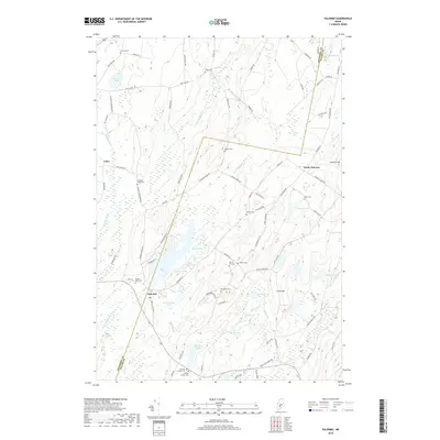
2018 Map of Palermo
USGS Topo · Published 2018About this map
Fifteenmile Stream and the W Br Sheepscot River define the glacial landscape of this Central Maine region, where the border between Kennebec and Waldo counties meets. The settlement of Palermo serves as a local hub, connected to smaller communities like North Palermo and Greeley Corner by a network of ridge-running roads. These routes, including Western Ridge Rd and Bessey Ridge Rd, follow the high ground between a dense concentration of water bodies such as Hackmatack Pond, Saban Pond, and Prescott Pond. Genealogists will find a wealth of burial sites recorded, from the Branch Mills Cem near the river to the Dennis Hill Cem and Osgood Cem located deeper in the rural interior. The topography is dominated by prominent elevations like Level Hill and Libby Hill, which shaped the early agricultural and transport patterns of the township.
Find a feature on this map
90 named features on this map. Tap any name to fly to it.
Don’t see what you’re looking for? This feature index may not catch every label — zoom into the map to look around manually.
Map Details
Editions of this 2018 Palermo Map
This is the sole edition of this map. No revisions or reprints were ever made.
Other maps of this area

1892 · Waterville
USGS Topo · 1:62,500

1893 · Vassalboro
USGS Topo · 1:62,500

1898 · Vassalboro
USGS Topo · 1:62,500

1916 · Liberty
USGS Topo · 1:62,500

1926 · Burnham
USGS Topo · 1:62,500

1941 · Vassalboro
USGS Topo · 1:62,500

1942 · Liberty
USGS Topo · 1:62,500

1943 · Vassalboro
USGS Topo · 1:62,500

1943 · Waterville
USGS Topo · 1:62,500

1948 · Bangor
USGS Topo · 1:250,000