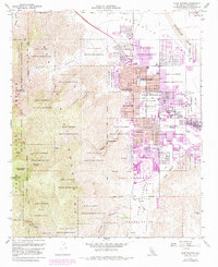
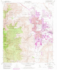
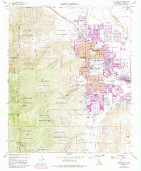
1957 Map of Palm Springs
USGS Topo · Published 1984About this map
The Agua Caliente Indian Reservation dominates this 1950s landscape, illustrating the complex checkerboard of tribal lands and the developing city of Palm Springs. The urban footprint, significantly expanded by 1980 revisions shown in purple, centers on major thoroughfares like Alejo Road and Ramon Road, while the western edge is defined by the steep rises of Chino Canyon and the San Jacinto Wilderness. Community infrastructure of the mid-century is well-documented through numerous educational sites such as Katherine Finchy Sch and Cahuilla Sch. The map records the intersection of tourism and geography at Tahquitz Falls and the Palm Springs Municipal Airport, alongside natural features like the Whitewater River and Andreas Canyon that define the floor of the Coachella Valley.
Find a feature on this map
51 named features on this map. Tap any name to fly to it.
Don’t see what you’re looking for? This feature index may not catch every label — zoom into the map to look around manually.
Map Details
Editions of this 1957 Palm Springs Map
6 editions found
Other maps of this area

1901 · Southern California Sheet No. 1
USGS Topo · 1:250,000

1901 · San Jacinto
USGS Topo · 1:125,000

1904 · Indio
USGS Topo · 1:125,000

1904 · Southern California Sheet No. 1
USGS Topo · 1:250,000

1940 · Palm Springs
USGS Topo · 1:62,500

1940 · Hemet Reservoir
USGS Topo · 1:62,500

1941 · Toro Peak
USGS Topo · 1:62,500

1941 · Edom
USGS Topo · 1:62,500

1942 · Hemet Reservoir
USGS Topo · 1:62,500

1944 · Toro peak
USGS Topo · 1:62,500