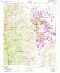
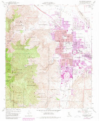
1957 Map of Palm Springs
USGS Topo · Published 1988About this map
The Agua Caliente Indian Reservation encompasses a vast portion of this desert landscape, where the growing urban grid of Palm Springs meets the steep eastern slopes of the Santa Rosa Mountains. The map reveals a post-war mid-century community in transition, showing the expansion of residential streets such as Ramon Road and Sunny Dunes Road alongside established institutions like the Katherine Finchy Sch and Francis S Stevens Sch. Notable recreational and infrastructure landmarks include the Polo Grounds and the Palm Springs Municipal Airport on the valley floor.
Find a feature on this map
54 named features on this map. Tap any name to fly to it.
Don’t see what you’re looking for? This feature index may not catch every label — zoom into the map to look around manually.
Map Details
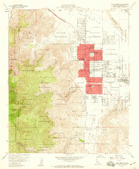
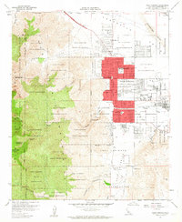
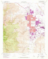
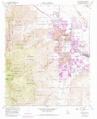
Editions of this 1957 Palm Springs Map
6 editions found
Other maps of this area

1901 · Southern California Sheet No. 1
USGS Topo · 1:250,000

1901 · San Jacinto
USGS Topo · 1:125,000

1904 · Indio
USGS Topo · 1:125,000

1904 · Southern California Sheet No. 1
USGS Topo · 1:250,000

1940 · Palm Springs
USGS Topo · 1:62,500

1940 · Hemet Reservoir
USGS Topo · 1:62,500

1941 · Toro Peak
USGS Topo · 1:62,500

1941 · Edom
USGS Topo · 1:62,500

1942 · Hemet Reservoir
USGS Topo · 1:62,500

1944 · Toro peak
USGS Topo · 1:62,500