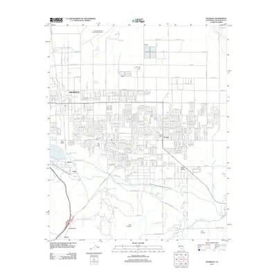
2012 Map of Palmdale
USGS Topo · Published 2012About this map
Palmdale serves as the central hub of this High Desert landscape, where the high-altitude urban grid meets the infrastructure of the Antelope Valley. The northern reaches are dominated by the extensive Palmdale Regional Airport/USAF Plant 42 and the Desert Aire Golf Course, while the city's growth extends southward toward the foothills of the San Gabriel Mountains. Local history is anchored at the Palmdale Cem and Desert Lawn Memorial Park, reflecting the community's establishment.
Find a feature on this map
35 named features on this map. Tap any name to fly to it.
Don’t see what you’re looking for? This feature index may not catch every label — zoom into the map to look around manually.
Map Details
Editions of this 2012 Palmdale Map
This is the sole edition of this map. No revisions or reprints were ever made.
Other maps of this area

1900 · Tujunga
USGS Topo · 1:62,500

1901 · Southern California Sheet No. 1
USGS Topo · 1:250,000

1903 · Rock Creek
USGS Topo · 1:62,500

1904 · Southern California Sheet No. 1
USGS Topo · 1:250,000

1915 · Elizabeth Lake
USGS Topo · 1:125,000

1917 · Elizabeth Lake
USGS Topo · 1:125,000

1930 · Little Rock
USGS Topo · 1:24,000

1930 · Lancaster
USGS Topo · 1:24,000

1930 · Pearland
USGS Topo · 1:24,000

1930 · West Alpine Butte
USGS Topo · 1:24,000