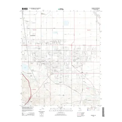
2015 Map of Palmdale
USGS Topo · Published 2015About this map
The Palmdale high desert landscape is defined by the intersection of industrial aviation and geological forces. The Palmdale United States Air Force Plant 42 Airport dominates the northern flats, representing the region's long-standing connection to aerospace engineering. Cutting southeast across the foothills is the San Andreas Fault, a stark reminder of the active tectonic environment that shapes the local topography.
Find a feature on this map
83 named features on this map. Tap any name to fly to it.
Don’t see what you’re looking for? This feature index may not catch every label — zoom into the map to look around manually.
Map Details
Editions of this 2015 Palmdale Map
This is the sole edition of this map. No revisions or reprints were ever made.
Other maps of this area

1900 · Tujunga
USGS Topo · 1:62,500

1901 · Southern California Sheet No. 1
USGS Topo · 1:250,000

1903 · Rock Creek
USGS Topo · 1:62,500

1904 · Southern California Sheet No. 1
USGS Topo · 1:250,000

1915 · Elizabeth Lake
USGS Topo · 1:125,000

1917 · Elizabeth Lake
USGS Topo · 1:125,000

1930 · Little Rock
USGS Topo · 1:24,000

1930 · Lancaster
USGS Topo · 1:24,000

1930 · Pearland
USGS Topo · 1:24,000

1930 · West Alpine Butte
USGS Topo · 1:24,000