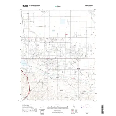
2018 Map of Palmdale
USGS Topo · Published 2018About this map
Palmdale and its surrounding High Desert landscape are defined by the convergence of major infrastructure and geological features in this 2018 survey. The San Andreas Fault cuts a distinct line across the southern terrain, separating the valley floor from the canyons of Hunt Canyon and Carr Canyon. To the north, the massive facility of Palmdale United States Air Force Plant 42 anchors the industrial landscape near Lockheed Way.
Find a feature on this map
107 named features on this map. Tap any name to fly to it.
Don’t see what you’re looking for? This feature index may not catch every label — zoom into the map to look around manually.
Map Details
Editions of this 2018 Palmdale Map
This is the sole edition of this map. No revisions or reprints were ever made.
Other maps of this area

1900 · Tujunga
USGS Topo · 1:62,500

1901 · Southern California Sheet No. 1
USGS Topo · 1:250,000

1903 · Rock Creek
USGS Topo · 1:62,500

1904 · Southern California Sheet No. 1
USGS Topo · 1:250,000

1915 · Elizabeth Lake
USGS Topo · 1:125,000

1917 · Elizabeth Lake
USGS Topo · 1:125,000

1930 · Little Rock
USGS Topo · 1:24,000

1930 · Lancaster
USGS Topo · 1:24,000

1930 · Pearland
USGS Topo · 1:24,000

1930 · West Alpine Butte
USGS Topo · 1:24,000