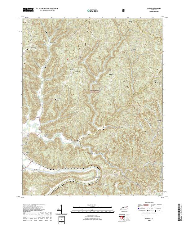
2022 Map of Palmer
USGS Topo · Published 2022About this map
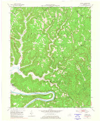
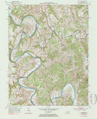
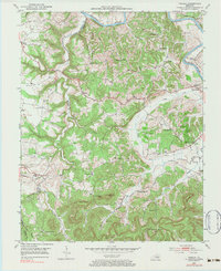
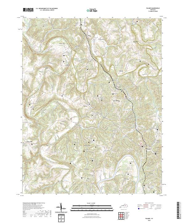
The Kentucky River carves a deep path through the borderlands of Madison, Estill, and Clark Counties, defining a landscape of sharp ridges and dramatic river bends. Significant geological and cultural landmarks include the narrow spine of Devils Backbone and the sweeping curves of Maupin Bend and Thornsburg Bend. The settlement of Palmer serves as a central point in this transition zone, where the plateau gives way to the river valley. The map is densely marked with family burial grounds such as Brock Cem, Lewis Cem, and Richardson Cemetery, alongside rural congregations like Log Lick Baptist Church-Cem and College Hill Church-Cem. This distribution of cemeteries and small settlements like Vianna and Cressy reflects a deep-rooted pattern of upland farming and river-oriented communities in this part of the Bluegrass region.
Find a feature on this map
124 named features on this map. Tap any name to fly to it.
Don’t see what you’re looking for? This feature index may not catch every label — zoom into the map to look around manually.
Map Details
Editions of this 2022 Palmer Map
This is the sole edition of this map. No revisions or reprints were ever made.
Historical Maps of Fox Through Time
6 maps found