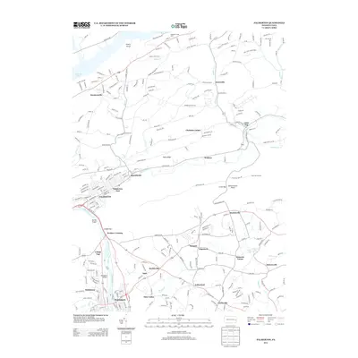
2013 Map of Palmerton
USGS Topo · Published 2013About this map
Palmerton sits at the confluence of the Lehigh River and Aquashicola Cr, marking a landscape where industrial heritage and topography converge. The map highlights the narrow passage of the Lehigh Gap, where the river cuts through the barrier of Blue Mountain, accompanied by the historic Lehigh Canal and the Devils Pulpit overlook. This corridor has long served as a vital transportation artery, as seen in the cluster of settlements like Walnutport and Welshtown along the western river bank.
Find a feature on this map
265 named features on this map. Tap any name to fly to it.
Don’t see what you’re looking for? This feature index may not catch every label — zoom into the map to look around manually.
Map Details
Editions of this 2013 Palmerton Map
This is the sole edition of this map. No revisions or reprints were ever made.
Other maps of this area

1894 · Allentown
USGS Topo · 1:62,500

1902 · Slatington
USGS Topo · 1:62,500

1914 · Wind Gap
USGS Topo · 1:62,500

1916 · Wind Gap
USGS Topo · 1:62,500

1922 · Mauch Chunk
USGS Topo · 1:62,500

1924 · Mauch Chunk
USGS Topo · 1:62,500

1937 · Allentown West
USGS Topo · 1:48,000

1939 · Allentown
USGS Topo · 1:62,500

1942 · Allentown West
USGS Topo · 1:62,500

1943 · Mauch Chunk
USGS Topo · 1:62,500
Featured Places
- Palmerton, PA
- Walnutport, PA
- Cherryville, Lehigh Township
- Palmerton East, PA
- Welshtown, Washington Township