Loading...
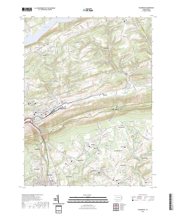
Loading map...2023 Map of Palmerton
USGS Topo · Published 2023About this map
Palmerton is situated at the foot of Blue Mountain, where the Aquashicola Creek meets the Lehigh River. This modern survey reveals a landscape shaped by both industrial history and preserved corridors, most notably the Appalachian National Scenic Trl which traverses the ridge lines. The geography is defined by the prominent Lehigh Gap, a natural break in the mountain ridge that has historically served as a vital passage for transportation and settlement.
Find a feature on this map
76 named features on this map. Tap any name to fly to it.
Don’t see what you’re looking for? This feature index may not catch every label — zoom into the map to look around manually.
Map Details
Date Portrayed2023
Date Published2023
PublisherU.S. Geological Survey
Map TypeTopographic
Scale1:24000
Physical Dimensions24 x 29 inches
Editions of this 2023 Palmerton Map
This is the sole edition of this map. No revisions or reprints were ever made.
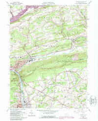
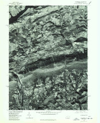
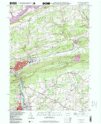
Historical Maps of Palmerton Through Time
4 maps found
Featured Locations
Source Details
SourceU.S. Geological Survey
CopyrightPublic Domain