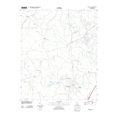
2011 Map of Palmetto
USGS Topo · Published 2011About this map
The Chattahoochee River forms the northwestern boundary of this landscape, which transitions from riverfront bottomlands to the residential and suburban reaches of South Fulton. The city of Palmetto serves as the primary hub, where the Palmetto Post Office and nearby Carlton Woods indicate the area's development patterns. Local history is anchored by established sites such as the Cochran Cemetery and the Georgia Baptist Childrens Home, reflecting the long-standing community institutions in this corner of Georgia.
Find a feature on this map
85 named features on this map. Tap any name to fly to it.
Don’t see what you’re looking for? This feature index may not catch every label — zoom into the map to look around manually.
Map Details
Editions of this 2011 Palmetto Map
This is the sole edition of this map. No revisions or reprints were ever made.
Other maps of this area

1891 · Marietta
USGS Topo · 1:125,000

1895 · Marietta
USGS Topo · 1:125,000

1897 · Marietta
USGS Topo · 1:125,000

1901 · Marietta
USGS Topo · 1:125,000

1953 · Atlanta
USGS Topo · 1:250,000

1954 · Palmetto
USGS Topo · 1:24,000

1954 · Campbellton
USGS Topo · 1:24,000

1954 · Fairburn
USGS Topo · 1:24,000
1954 · Ben Hill
USGS Topo · 1:24,000

1957 · Atlanta
USGS Topo · 1:250,000