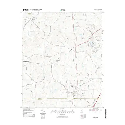
2014 Map of Palmetto
USGS Topo · Published 2014About this map
Palmetto serves as a primary hub in the south of Fulton County, situated just north of the border shared with Coweta County. The landscape is defined by the drainage systems of the Chattahoochee River, with several significant creeks such as Pea Cr, Bear Cr, and Little Pea Cr carving through the terrain. To the north, the footprint of Union City extends into the map, showing a transition toward more concentrated development.
Find a feature on this map
145 named features on this map. Tap any name to fly to it.
Don’t see what you’re looking for? This feature index may not catch every label — zoom into the map to look around manually.
Map Details
Editions of this 2014 Palmetto Map
This is the sole edition of this map. No revisions or reprints were ever made.
Other maps of this area

1891 · Marietta
USGS Topo · 1:125,000

1895 · Marietta
USGS Topo · 1:125,000

1897 · Marietta
USGS Topo · 1:125,000

1901 · Marietta
USGS Topo · 1:125,000

1953 · Atlanta
USGS Topo · 1:250,000

1954 · Palmetto
USGS Topo · 1:24,000

1954 · Campbellton
USGS Topo · 1:24,000

1954 · Fairburn
USGS Topo · 1:24,000
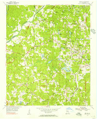
1954 · Ben Hill
USGS Topo · 1:24,000

1957 · Atlanta
USGS Topo · 1:250,000