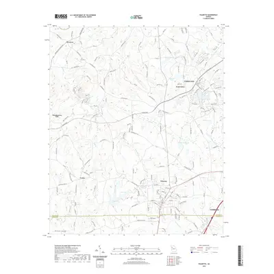
2020 Map of Palmetto
USGS Topo · Published 2020About this map
Palmetto and the rolling suburban-to-rural landscapes of southwest South Fulton anchor this 2020 survey. This area preserves a mix of established municipal centers like Fairburn and Union City alongside smaller communities such as Rivertown and Goodes. The terrain is defined by a dense network of tributaries including Pea Creek, Cedar Branch, and Little Bear Creek, which feed numerous small reservoirs like Ono Road Lake and Redding Lake. For those researching local family history, the Cochran Cemetery remains a significant landmark near the intersection of Rivertown Road and Cochran Mill Road. The map highlights the modern infrastructure of South Fulton Parkway as it cuts through the landscape near Cedar Ridge, illustrating the ongoing development within the Fulton and Coweta county boundary region.
Find a feature on this map
147 named features on this map. Tap any name to fly to it.
Don’t see what you’re looking for? This feature index may not catch every label — zoom into the map to look around manually.
Map Details
Editions of this 2020 Palmetto Map
This is the sole edition of this map. No revisions or reprints were ever made.
Other maps of this area

1891 · Marietta
USGS Topo · 1:125,000

1895 · Marietta
USGS Topo · 1:125,000

1897 · Marietta
USGS Topo · 1:125,000

1901 · Marietta
USGS Topo · 1:125,000

1953 · Atlanta
USGS Topo · 1:250,000

1954 · Palmetto
USGS Topo · 1:24,000

1954 · Campbellton
USGS Topo · 1:24,000

1954 · Fairburn
USGS Topo · 1:24,000
1954 · Ben Hill
USGS Topo · 1:24,000

1957 · Atlanta
USGS Topo · 1:250,000