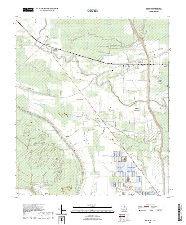
2024 Map of Palmetto
USGS Topo · Published 2024About this map
Palmetto stands as a central hub in this St. Landry Parish landscape, situated where W Railroad Ave meets the surrounding bayou networks. The area is defined by its intricate water systems, including the Negro Foot Bayou and the expansive West Atchafalaya Floodway to the east. Small communities and named locales such as Lebeau, Waxia, and the Rideau Settlement are scattered across the terrain, connected by a web of parish roads. Local history is deeply rooted in the numerous religious and burial sites that dot the map, such as the Immaculate Conception Catholic Cem and Saint Matthew Baptist Cem. The drainage patterns of Dick Bayou and Bayou Waukska reveal the low-lying nature of this region, which remains dominated by agricultural parcels and the critical infrastructure required for flood management in the Atchafalaya basin.
Find a feature on this map
80 named features on this map. Tap any name to fly to it.
Don’t see what you’re looking for? This feature index may not catch every label — zoom into the map to look around manually.
Map Details
Editions of this 2024 Palmetto Map
This is the sole edition of this map. No revisions or reprints were ever made.
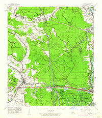
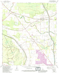
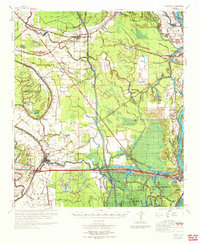
Historical Maps of Bat Through Time
4 maps found