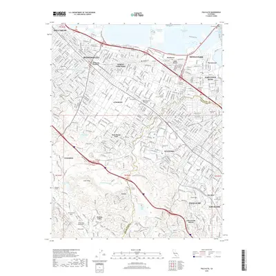
2018 Map of Palo Alto
USGS Topo · Published 2018About this map
Stanford and the surrounding academic and residential corridor of the Peninsula are documented here in detail, showcasing a landscape defined by institutional grounds and established suburban grids. The sprawling Stanford University campus occupies a central position, while nearby Saint Patrick's Seminary and Menlo College further underscore the region's educational character. To the north, the industrial and residential evolution of Redwood City and Menlo Park is clear, with Redwood Junction marking a key logistical node.
Find a feature on this map
64 named features on this map. Tap any name to fly to it.
Don’t see what you’re looking for? This feature index may not catch every label — zoom into the map to look around manually.
Map Details
Editions of this 2018 Palo Alto Map
This is the sole edition of this map. No revisions or reprints were ever made.
Other maps of this area

1892 · San Mateo
USGS Topo · 1:62,500

1896 · San Mateo
USGS Topo · 1:62,500

1897 · Palo Alto
USGS Topo · 1:62,500

1899 · Palo Alto
USGS Topo · 1:62,500

1899 · Haywards
USGS Topo · 1:62,500

1899 · San Mateo
USGS Topo · 1:62,500

1902 · Santa Cruz
USGS Topo · 1:125,000

1915 · San Mateo
USGS Topo · 1:62,500

1915 · Haywards
USGS Topo · 1:62,500

1939 · San Mateo
USGS Topo · 1:62,500