
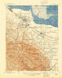
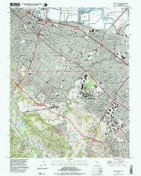
1943 Map of Palo Alto
USGS Topo · Published 1943About this map
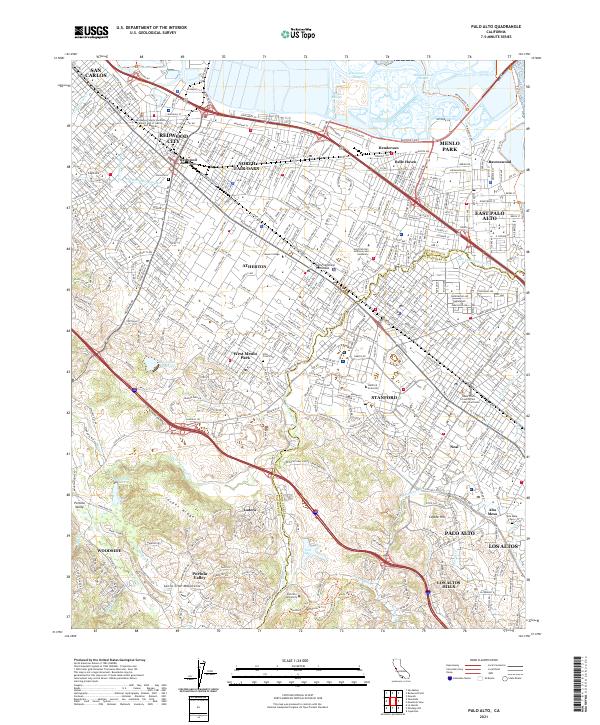
Stanford University sits at the heart of the San Francisco Peninsula as it transitioned from an agricultural landscape into a network of burgeoning towns during the early 1940s. The Southern Pacific railroad corridor serves as the spine for development, linking Redwood City, Atherton, and Palo Alto to the expanding orchard communities of Mountain View and Sunnyvale. To the northeast, the Dumbarton Bridge provides a vital link across San Francisco Bay, while the lowlands are defined by complex drainage systems like Coyote Creek and Guadalupe Slough. This survey reveals the contrast between the gridded residential blocks and the steep, untamed terrain of the Santa Cruz Mountains to the southwest, where features like Black Mountain and Duveneck Ranch overlook the valley. The presence of rural institutions such as the Whisman Dist School and Alpine School highlights the local infrastructure of an era before the post-war suburban explosion.
Find a feature on this map
57 named features on this map. Tap any name to fly to it.
Don’t see what you’re looking for? This feature index may not catch every label — zoom into the map to look around manually.
Map Details
Editions of this 1943 Palo Alto Map
This is the sole edition of this map. No revisions or reprints were ever made.
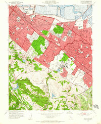
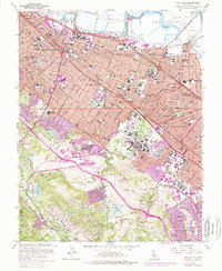
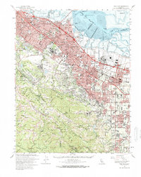
Historical Maps of San Jose Through Time
15 maps found

1897 Palo Alto
Santa Clara County, CA
1899 Palo Alto
Santa Clara County, CA

1941 Palo Alto
Santa Clara County, CA
1943 Palo Alto
Santa Clara County, CA

1948 Palo Alto
Santa Clara County, CA
1953 Palo Alto
Santa Clara County, CA
1961 Palo Alto
Santa Clara County, CA
1961 Palo Alto
Santa Clara County, CA

1982 Palo Alto
Santa Clara County, CA

1991 Palo Alto
Santa Clara County, CA
1997 Palo Alto
Santa Clara County, CA
2012 Palo Alto
Santa Clara County, CA
2015 Palo Alto
Santa Clara County, CA
2018 Palo Alto
Santa Clara County, CA
2021 Palo Alto
Santa Clara County, CA