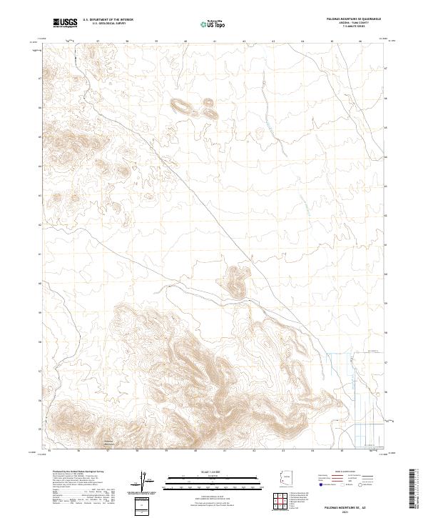
2021 Map of Palomas Mountains SE
USGS Topo · Published 2021About this map
The Palomas Mountains anchor the southern portion of this desert landscape, characterized by the intricate drainage patterns of the arid Southwest. This modern-era survey captures the topographic complexity of the range, with the expansive Hoodoo Wash cutting a significant path through the northeastern and southeastern sectors. The map reveals the precise intersection of administrative boundaries, including township and range lines such as t3s r13w and t5s r12w, which define the land's legal organization. In the southeast corner, the emergence of local infrastructure is evident where CO 15th St N and CO 13th St N enter the quadrangle, reflecting the sparse but organized road network that skirts the high desert terrain.
Find a feature on this map
10 named features on this map. Tap any name to fly to it.
Don’t see what you’re looking for? This feature index may not catch every label — zoom into the map to look around manually.
Map Details
Editions of this 2021 Palomas Mountains SE Map
This is the sole edition of this map. No revisions or reprints were ever made.
Other maps of this area

1927 · Hyder
USGS Topo · 1:62,500

1929 · Aztec
USGS Topo · 1:62,500

1930 · Stoval
USGS Topo · 1:62,500

1930 · Hyder
USGS Topo · 1:62,500

1942 · Vicksburg
USGS Topo · 1:250,000

1950 · Stoval
USGS Topo · 1:62,500

1950 · Aztec
USGS Topo · 1:62,500

1953 · Ajo
USGS Topo · 1:250,000

1954 · Phoenix
USGS Topo · 1:250,000

1957 · Ajo
USGS Topo · 1:250,000