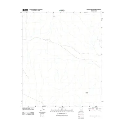
2011 Map of Palomas Mountains SW
USGS Topo · Published 2011About this map
Palomas Mountains and the southern reaches of the Tank Mountains anchor this arid desert landscape in Yuma County. The map documents a topography defined by complex drainage patterns, with numerous unnamed ephemeral washes descending from the mountain slopes and weaving across the desert floor. This 2011 survey by the U.S. Geological Survey illustrates the transition from the rugged upland terrain to the surrounding alluvial plains, capturing a wilderness area largely devoid of permanent settlements or modern infrastructure. The detailed contour work provides insight into the natural watershed system and the geological structure of these southwestern Arizona ranges.
Find a feature on this map
2 named features on this map. Tap any name to fly to it.
Don’t see what you’re looking for? This feature index may not catch every label — zoom into the map to look around manually.
Map Details
Editions of this 2011 Palomas Mountains SW Map
This is the sole edition of this map. No revisions or reprints were ever made.
Other maps of this area

1928 · Norton
USGS Topo · 1:62,500

1929 · Norton
USGS Topo · 1:62,500

1930 · Stoval
USGS Topo · 1:62,500

1942 · Vicksburg
USGS Topo · 1:250,000

1950 · Stoval
USGS Topo · 1:62,500

1953 · Ajo
USGS Topo · 1:250,000

1954 · Phoenix
USGS Topo · 1:250,000

1955 · Roll
USGS Topo · 1:62,500

1957 · Ajo
USGS Topo · 1:250,000

1957 · Phoenix
USGS Topo · 1:250,000