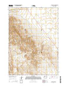
2014 Map of Palomino Hills
USGS Topo · Published 2014About this map
The Palomino Hills dominate this high-desert landscape in southeastern Oregon, where water management is the defining human footprint. A series of specialized catchments, including Two Day Reservoir, Ridge End Reservoir, and the Lower Stockpile Reservoir, suggest a landscape utilized for livestock grazing and water storage in an arid environment. The terrain drops into the expansive Big Basin to the south, with ephemeral drainages like Drought Cr and Scott Butte Cr carving subtle paths through the topography.
Find a feature on this map
18 named features on this map. Tap any name to fly to it.
Don’t see what you’re looking for? This feature index may not catch every label — zoom into the map to look around manually.
Map Details
Editions of this 2014 Palomino Hills Map
This is the sole edition of this map. No revisions or reprints were ever made.
Other maps of this area

1955 · Jordan Valley
USGS Topo · 1:250,000

1955 · Adel
USGS Topo · 1:250,000

1957 · Adel
USGS Topo · 1:250,000

1957 · Jordan Valley
USGS Topo · 1:250,000

1958 · Adel
USGS Topo · 1:250,000

1958 · Jordan Valley
USGS Topo · 1:250,000

1962 · Adel
USGS Topo · 1:250,000

1972 · Palomino Hills
USGS Topo · 1:24,000
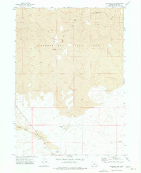
1972 · Palomino Lake
USGS Topo · 1:24,000
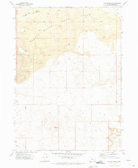
1972 · Iron Mountain
USGS Topo · 1:24,000