
1972 Map of Palomino Hills
USGS Topo · Published 1975About this map
Palomino Hills dominate this portion of Malheur County, where the high desert landscape is defined by its water management systems and resource extraction. The 1970s terrain is marked by a network of catchments including Palomino Creek Reservoir, Two Day Reservoir, and Ridge End Reservoir, reflecting the vital importance of seasonal water storage in the Big Basin region. The mapping reveals a sparse infrastructure consisting largely of a Jeep Trail and various industrial excavations. Numerous Borrow Pits, Gravel Pits, and unnamed Prospects are scattered along the drainage of Palomino Creek, indicating an era of active land use and geological surveying. In the southern portion of the quadrangle, Drought Creek winds through the hills, illustrating the arid character of this remote Oregon interior.
Find a feature on this map
14 named features on this map. Tap any name to fly to it.
Don’t see what you’re looking for? This feature index may not catch every label — zoom into the map to look around manually.
Map Details
Editions of this 1972 Palomino Hills Map
This is the sole edition of this map. No revisions or reprints were ever made.
Other maps of this area

1955 · Jordan Valley
USGS Topo · 1:250,000

1955 · Adel
USGS Topo · 1:250,000

1957 · Adel
USGS Topo · 1:250,000

1957 · Jordan Valley
USGS Topo · 1:250,000

1958 · Adel
USGS Topo · 1:250,000

1958 · Jordan Valley
USGS Topo · 1:250,000

1962 · Adel
USGS Topo · 1:250,000
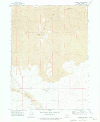
1972 · Palomino Lake
USGS Topo · 1:24,000
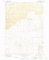
1972 · Iron Mountain
USGS Topo · 1:24,000

1972 · Burns Junction
USGS Topo · 1:24,000