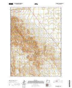
2020 Map of Palomino Hills
USGS Topo · Published 2020About this map
Palomino Hills and the surrounding high desert of Malheur County are defined by a sophisticated system of upland water management and catchment. This 2020 survey details a network of specialized basins, including Two Day Reservoir, Ridge End Reservoir, and Lower Stockpile Reservoir, which are vital for supporting life and livestock in this arid environment. The drainages of Palomino Cr and Scott Butte Cr carve through the land, while the broad depression of Big Basin serves as a significant geographical anchor in the southern portion of the quadrangle. The presence of Palomino Cr Reservoir and the seasonal path of Drought Cr illustrate the precarious balance of water resources in a region where cattle ranching and wildland management rely on every captured acre-foot.
Find a feature on this map
15 named features on this map. Tap any name to fly to it.
Don’t see what you’re looking for? This feature index may not catch every label — zoom into the map to look around manually.
Map Details
Editions of this 2020 Palomino Hills Map
This is the sole edition of this map. No revisions or reprints were ever made.
Other maps of this area

1955 · Jordan Valley
USGS Topo · 1:250,000

1955 · Adel
USGS Topo · 1:250,000

1957 · Adel
USGS Topo · 1:250,000

1957 · Jordan Valley
USGS Topo · 1:250,000

1958 · Adel
USGS Topo · 1:250,000

1958 · Jordan Valley
USGS Topo · 1:250,000

1962 · Adel
USGS Topo · 1:250,000

1972 · Palomino Hills
USGS Topo · 1:24,000
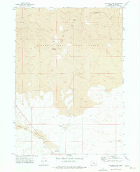
1972 · Palomino Lake
USGS Topo · 1:24,000
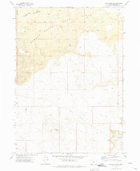
1972 · Iron Mountain
USGS Topo · 1:24,000