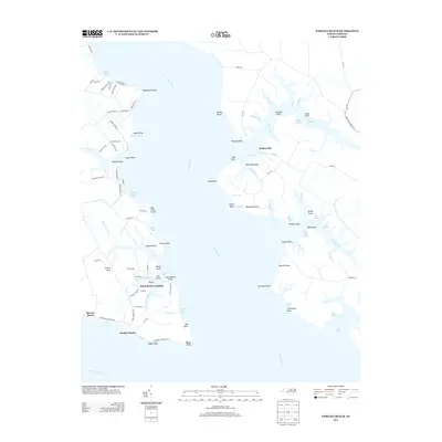
2013 Map of Pamlico Beach
USGS Topo · Published 2013About this map
Schoolhouse Landing and Pamlico Beach anchor the lower reaches of the Pungo River in this coastal Beaufort County landscape. The area is defined by its intricate network of waterways, where the river meets the Pamlico River at points like Adams Point and Wades Point. Inland from the river, small settlements such as Makleyville are connected by a web of local routes including NC-1776 and Wrights Creek Rd.
Find a feature on this map
118 named features on this map. Tap any name to fly to it.
Don’t see what you’re looking for? This feature index may not catch every label — zoom into the map to look around manually.
Map Details
Editions of this 2013 Pamlico Beach Map
This is the sole edition of this map. No revisions or reprints were ever made.
Other maps of this area

1914 · Belhaven
USGS Topo · 1:48,000

1916 · Belhaven
USGS Topo · 1:62,500

1943 · Columbia
USGS Topo · 1:125,000

1943 · Plymouth
USGS Topo · 1:125,000

1950 · Lowland
USGS Topo · 1:24,000

1950 · South Creek
USGS Topo · 1:24,000

1951 · Pamlico Point
USGS Topo · 1:24,000

1951 · Ransomville
USGS Topo · 1:24,000

1951 · Pamlico Beach
USGS Topo · 1:24,000

1951 · Belhaven
USGS Topo · 1:24,000