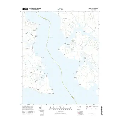
2016 Map of Pamlico Beach
USGS Topo · Published 2016About this map
Makelyville and the Pamlico Beach community anchor this coastal survey where the Pungo River meets the Pamlico River. The landscape is a complex network of wetlands and tidal inlets, most notably the One Thousand Marshes and Tarkiln Creek Bay. This area of Beaufort and Hyde counties is defined by its deep relationship with the water, as evidenced by the Intracostal Waterway cutting through the center of the sheet.
Find a feature on this map
97 named features on this map. Tap any name to fly to it.
Don’t see what you’re looking for? This feature index may not catch every label — zoom into the map to look around manually.
Map Details
Editions of this 2016 Pamlico Beach Map
This is the sole edition of this map. No revisions or reprints were ever made.
Other maps of this area

1914 · Belhaven
USGS Topo · 1:48,000

1916 · Belhaven
USGS Topo · 1:62,500

1943 · Columbia
USGS Topo · 1:125,000

1943 · Plymouth
USGS Topo · 1:125,000

1950 · Lowland
USGS Topo · 1:24,000

1950 · South Creek
USGS Topo · 1:24,000

1951 · Pamlico Point
USGS Topo · 1:24,000

1951 · Ransomville
USGS Topo · 1:24,000

1951 · Pamlico Beach
USGS Topo · 1:24,000

1951 · Belhaven
USGS Topo · 1:24,000