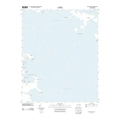
2010 Map of Pamlico Point
USGS Topo · Published 2010About this map
Pamlico Point and the surrounding coastline of Hyde County define this maritime survey, where the Pamlico River meets the open Atlantic Ocean. The geography is characterized by an intricate network of salt-sprayed points and small islands that create a jagged interface between land and water. Points with evocative names like Hogpen Point, Yaupon Hammock Point, and Persimmon Tree Point suggest a landscape long utilized for local navigation and subsistence.
Find a feature on this map
24 named features on this map. Tap any name to fly to it.
Don’t see what you’re looking for? This feature index may not catch every label — zoom into the map to look around manually.
Map Details
Editions of this 2010 Pamlico Point Map
This is the sole edition of this map. No revisions or reprints were ever made.
Other maps of this area

1950 · Lowland
USGS Topo · 1:24,000

1950 · Jones Bay
USGS Topo · 1:24,000

1951 · Brant Island
USGS Topo · 1:24,000

1951 · Pamlico Point
USGS Topo · 1:24,000

1951 · Great Island
USGS Topo · 1:24,000

1951 · Pamlico Beach
USGS Topo · 1:24,000

1951 · Scranton
USGS Topo · 1:24,000

1951 · Swanquarter
USGS Topo · 1:24,000

1953 · Rocky Mount
USGS Topo · 1:250,000

1954 · Rocky Mount
USGS Topo · 1:250,000