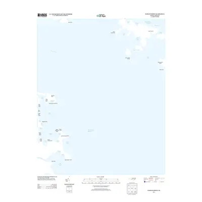
2013 Map of Pamlico Point
USGS Topo · Published 2013About this map
The Pamlico River and Atlantic Ocean define the meeting of land and sea at this easternmost edge of Hyde County. The landscape is a fragmented collection of marshes, islands, and points, where narrow channels like Judith Narrows separate Judith Island from the mainland. The intricate shoreline is deeply incised by numerous bays and harbors, such as Mouse Harbor and Big Porpoise Bay, which historically served as vital sheltered waters for local maritime activity.
Find a feature on this map
47 named features on this map. Tap any name to fly to it.
Don’t see what you’re looking for? This feature index may not catch every label — zoom into the map to look around manually.
Map Details
Editions of this 2013 Pamlico Point Map
This is the sole edition of this map. No revisions or reprints were ever made.
Other maps of this area

1950 · Lowland
USGS Topo · 1:24,000

1950 · Jones Bay
USGS Topo · 1:24,000

1951 · Brant Island
USGS Topo · 1:24,000

1951 · Pamlico Point
USGS Topo · 1:24,000

1951 · Great Island
USGS Topo · 1:24,000

1951 · Pamlico Beach
USGS Topo · 1:24,000

1951 · Scranton
USGS Topo · 1:24,000

1951 · Swanquarter
USGS Topo · 1:24,000

1953 · Rocky Mount
USGS Topo · 1:250,000

1954 · Rocky Mount
USGS Topo · 1:250,000