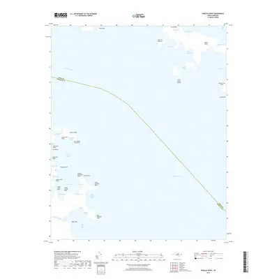
2019 Map of Pamlico Point
USGS Topo · Published 2019About this map
Pamlico Point serves as the focal landform where the Pamlico River meets the expansive Pamlico Sound, marking a jagged transition between the mainland and the shifting coastal waters of North Carolina. This coastal survey documents a landscape dominated by intricate estuarine features, from the sheltered waters of Mouse Harbor to the complex network of islands and passages like Judith Narrows and the Little Judith Islands.
Find a feature on this map
48 named features on this map. Tap any name to fly to it.
Don’t see what you’re looking for? This feature index may not catch every label — zoom into the map to look around manually.
Map Details
Editions of this 2019 Pamlico Point Map
This is the sole edition of this map. No revisions or reprints were ever made.
Other maps of this area

1950 · Lowland
USGS Topo · 1:24,000

1950 · Jones Bay
USGS Topo · 1:24,000

1951 · Brant Island
USGS Topo · 1:24,000

1951 · Pamlico Point
USGS Topo · 1:24,000

1951 · Great Island
USGS Topo · 1:24,000

1951 · Pamlico Beach
USGS Topo · 1:24,000

1951 · Scranton
USGS Topo · 1:24,000

1951 · Swanquarter
USGS Topo · 1:24,000

1953 · Rocky Mount
USGS Topo · 1:250,000

1954 · Rocky Mount
USGS Topo · 1:250,000