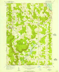
1954 Map of Panama
USGS Topo · Published 1957About this map
North Harmony and Harmony townships are defined by a mix of agricultural fields and extensive State Reforestation Areas, showing a landscape in transition during the mid-1950s. The village of Panama serves as a local hub near the headwaters of Little Brokenstraw Creek, while to the east, the shoreline of Chautauqua Lake features established points like Bly Pt and Ashville Bay. This era was marked by the active operations of the Erie Railroad, which connects the settlements of Watts Flats and Niobe at N E Junction. Genealogists will find several family and community burial grounds, including Maple Grove Cem in Ashville and the Tillotson Cem near Muzzy Hill. The presence of the Village School and numerous named rural routes like Stoneledge Road and Swede Road illustrates the established rural infrastructure of Chautauqua County before modern highway expansions altered local travel patterns.
Find a feature on this map
68 named features on this map. Tap any name to fly to it.
Don’t see what you’re looking for? This feature index may not catch every label — zoom into the map to look around manually.
Map Details
Editions of this 1954 Panama Map
2 editions found
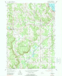
Other maps of this area

1904 · Chautaqua
USGS Topo · 1:62,500

1905 · Clymer
USGS Topo · 1:62,500

1926 · Youngsville
USGS Topo · 1:62,500

1929 · Corry
USGS Topo · 1:48,000

1929 · Youngsville
USGS Topo · 1:62,500

1932 · Corry
USGS Topo · 1:62,500

1939 · Clymer
USGS Topo · 1:62,500

1941 · Chautauqua
USGS Topo · 1:62,500

1941 · Clymer
USGS Topo · 1:62,500

1943 · Youngsville
USGS Topo · 1:62,500