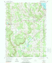
1954 Map of Panama
USGS Topo · Published 1989About this map
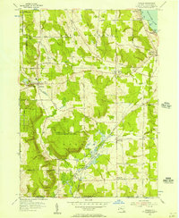
Chautauqua Lake anchors the northeast corner of this mid-century landscape, where the waters of Ashville Bay and Bly Bay meet the shoreline at Bly Pt. The area is defined by the agricultural and woodland tracts of North Harmony and Harmony, much of which is dedicated to the State Reforestation Area. The rural character of the mid-1950s is evident in the scattered settlements of Panama, Ashville, and Watts Flats, while the Erie Railroad cuts a diagonal path across the terrain, passing through the N. E. Junction near Niobe. Genealogists will find numerous family and community landmarks, including Maple Grove Ch and several small burial grounds such as Gardner Cem and Killotson Cem. The topography is diverse, ranging from the low-lying Dole Swamp to the high ground at Muzzy Hill, with Little Brokenstraw Creek winding through the western valleys.
Find a feature on this map
57 named features on this map. Tap any name to fly to it.
Don’t see what you’re looking for? This feature index may not catch every label — zoom into the map to look around manually.
Map Details
Editions of this 1954 Panama Map
2 editions found
Other maps of this area

1904 · Chautaqua
USGS Topo · 1:62,500

1905 · Clymer
USGS Topo · 1:62,500

1926 · Youngsville
USGS Topo · 1:62,500

1929 · Corry
USGS Topo · 1:48,000

1929 · Youngsville
USGS Topo · 1:62,500

1932 · Corry
USGS Topo · 1:62,500

1939 · Clymer
USGS Topo · 1:62,500

1941 · Chautauqua
USGS Topo · 1:62,500

1941 · Clymer
USGS Topo · 1:62,500

1943 · Youngsville
USGS Topo · 1:62,500