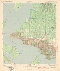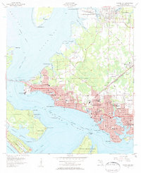
1956 Map of Panama City
USGS Topo · Published 1957About this map
Panama City and its surrounding coastal neighborhoods are mapped here during a period of mid-century growth along the shores of St Andrews Bay. The landscape is defined by its deep integration with the water, showing the Intracoastal Waterway and various bayous like Massalina Bayou and Watson Bayou that cut into the urban grid. The map records the infrastructure of the era, from the Atlanta and St Andrews Bay railroad line to the presence of Tyndall Air Force Base and Fannin Airport. Numerous educational and social landmarks are visible, including Rosenwald High Sch, Jinks High Sch, and the Greenwood Cemetery, alongside established settlements like Millville and Lynn Haven. The shoreline development extends to Magnolia Beach and Delwood Beach, contrasting with the preserved lands of St Andrews State Park at the bay's entrance.
Find a feature on this map
81 named features on this map. Tap any name to fly to it.
Don’t see what you’re looking for? This feature index may not catch every label — zoom into the map to look around manually.
Map Details
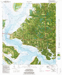
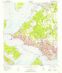
Editions of this 1956 Panama City Map
2 editions found
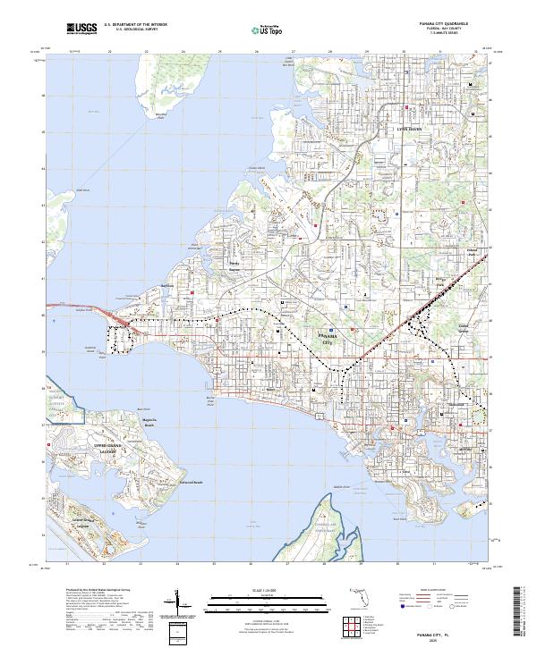
Historical Maps of Sweet Bay Through Time
5 maps found