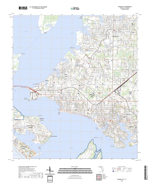
2025 Map of Panama City
USGS Topo · Published 2025About this map
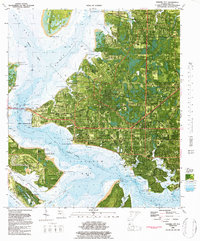
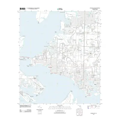
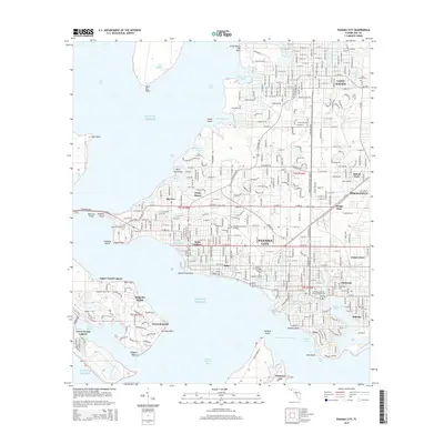
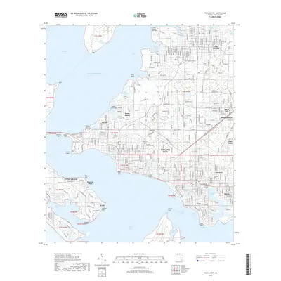
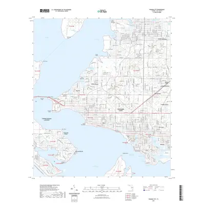
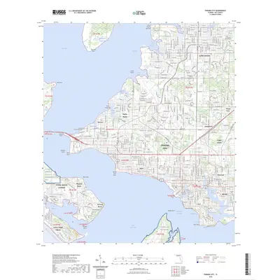
Panama City and Lynn Haven anchor this coastal survey, where the intricate shoreline of Saint Andrew Bay meets a network of inlets including Pretty Bayou and North Bay. The landscape is a dense arrangement of established neighborhoods and educational centers like Florida State University Panama City and Gulf Coast State College. Significant military footprints are evident at Naval Support Activity Panama City and Tyndall Air Force Base, highlighting the strategic maritime position of the region. The map provides a detailed look at local civic and historical landmarks, ranging from the Bay County Courthouse to several historic burial grounds such as Greenwood Cem and Millville Cem. Navigational features like the Intracoastal Waterway and the Grand Lagoon Channel connect the protected harbors to the open Gulf.
Find a feature on this map
90 named features on this map. Tap any name to fly to it.
Don’t see what you’re looking for? This feature index may not catch every label — zoom into the map to look around manually.
Map Details
Editions of this 2025 Panama City Map
This is the sole edition of this map. No revisions or reprints were ever made.
Historical Maps of Panama City Through Time
10 maps found
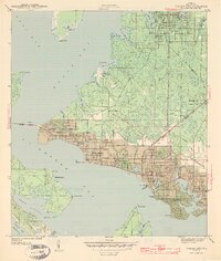
1943 Panama City
Bay County, FL
1956 Panama City
Bay County, FL
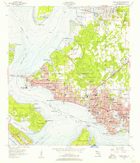
1981 Panama City
Bay County, FL
1982 Panama City
Bay County, FL
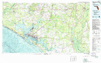
2012 Panama City
Bay County, FL
2015 Panama City
Bay County, FL
2018 Panama City
Bay County, FL
2021 Panama City
Bay County, FL
2024 Panama City
Bay County, FL
2025 Panama City
Bay County, FL