
1944 Map of Long Point
USGS Topo · Published 1944About this map
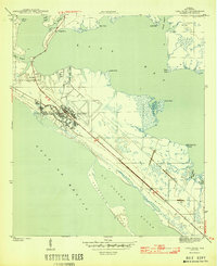
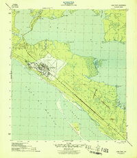
Tyndall Field dominates the central landscape of this peninsula, its airfield runways and sprawling military infrastructure clearly defined during the height of the Second World War. Surveyed in 1943 by E. V. Holloway, the map shows a period of intense military activity along the Florida coast. To the northwest, the settlement of San Blas sits near the head of the peninsula, connected to the mainland via a road passing through Long Point.
Find a feature on this map
25 named features on this map. Tap any name to fly to it.
Don’t see what you’re looking for? This feature index may not catch every label — zoom into the map to look around manually.
Map Details
Editions of this 1944 Long Point Map
3 editions found
Other maps of this area

1943 · Beacon Beach
USGS Topo · 1:31,680

1943 · Panama City
USGS Topo · 1:31,680

1943 · Crooked Island
USGS Topo · 1:31,680

1944 · Beacon Hill
USGS Topo · 1:31,680

1945 · Allanton
USGS Topo · 1:31,680

1945 · North Of Allanton
USGS Topo · 1:31,680
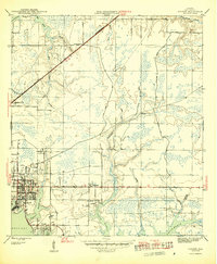
1945 · Parker
USGS Topo · 1:31,680

1947 · Allanton
USGS Topo · 1:25,000

1949 · Apalachicola
USGS Topo · 1:250,000

1954 · Tallahassee
USGS Topo · 1:250,000