
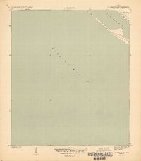
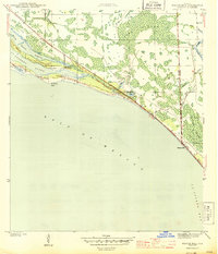
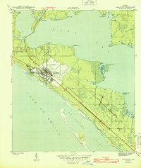
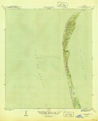
1943 Map of Crooked Island
USGS Topo · Published 1943About this map
St Andrew Sound and the open expanse of the Gulf of Mexico dominate this coastal survey produced during the Second World War. The map centers on the narrow barrier geography of Crooked Island, a dynamic landform defined by shifting Sand Dunes along the Florida panhandle. This 1943 edition, prepared under the direction of the Corps of Engineers, captures a largely undeveloped stretch of the Bay County shoreline as it existed before the extensive mid-century coastal developments. The map provides a precise record of the natural coastline and bathymetry in an era of heightened maritime and military awareness along the Gulf coast.
Find a feature on this map
4 named features on this map. Tap any name to fly to it.
Don’t see what you’re looking for? This feature index may not catch every label — zoom into the map to look around manually.
Map Details
Editions of this 1943 Crooked Island Map
3 editions found

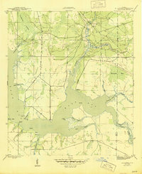
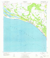
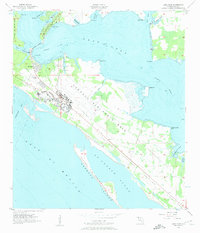
Other maps of this area

1943 · Beacon Beach
USGS Topo · 1:31,680
1944 · Beacon Hill
USGS Topo · 1:31,680
1944 · Long Point
USGS Topo · 1:31,680
1945 · Allanton
USGS Topo · 1:31,680
1945 · St Joseph Point
USGS Topo · 1:31,680

1947 · Allanton
USGS Topo · 1:25,000

1949 · Apalachicola
USGS Topo · 1:250,000

1954 · Tallahassee
USGS Topo · 1:250,000
1956 · Beacon Hill
USGS Topo · 1:24,000
1956 · Long Point
USGS Topo · 1:24,000