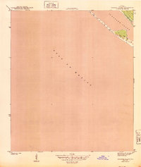
1943 Map of Crooked Island
USGS Topo · Published 1943About this map
St Andrew Sound and the barrier topography of Crooked Island define this coastal landscape as it appeared during the height of the second World War. Surveyed by S. L. Parker for the War Department, this map reveals a coastline largely shaped by nature, dominated by the Gulf of Mexico and shifting Sand Dunes. The lack of inland development on this sheet reflects the area's primary military or maritime utility in the early 1940s, providing a raw look at the Florida shoreline before the significant post-war changes that would later transform the Bay County coast.
Find a feature on this map
5 named features on this map. Tap any name to fly to it.
Don’t see what you’re looking for? This feature index may not catch every label — zoom into the map to look around manually.
Map Details
Editions of this 1943 Crooked Island Map
3 editions found
Other maps of this area

1943 · Beacon Beach
USGS Topo · 1:31,680

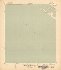
1943 · Crooked Island
USGS Topo · 1:31,680

1944 · Beacon Hill
USGS Topo · 1:31,680

1944 · Long Point
USGS Topo · 1:31,680

1945 · Allanton
USGS Topo · 1:31,680

1945 · St Joseph Point
USGS Topo · 1:31,680

1947 · Allanton
USGS Topo · 1:25,000

1949 · Apalachicola
USGS Topo · 1:250,000

1954 · Tallahassee
USGS Topo · 1:250,000
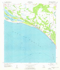
1956 · Beacon Hill
USGS Topo · 1:24,000