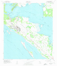
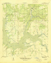
1956 Map of Long Point
USGS Topo · Published 1957About this map
Tyndall Air Force Base dominates this coastal landscape on the edge of the Gulf of Mexico, showcasing a significant military installation during the mid-1950s. The base infrastructure is mapped in detail, featuring extensive runways, training areas, and a series of Gunnery Ranges stretching along the barrier peninsula. Nearby, the community of San Blas and the Tyndall Sch indicate the residential and educational support for the military population stationed along these shores.
Find a feature on this map
32 named features on this map. Tap any name to fly to it.
Don’t see what you’re looking for? This feature index may not catch every label — zoom into the map to look around manually.
Map Details
Editions of this 1956 Long Point Map
2 editions found

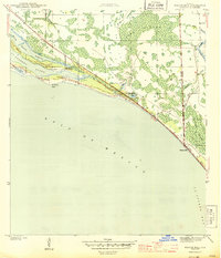
Other maps of this area

1943 · Beacon Beach
USGS Topo · 1:31,680
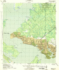
1943 · Panama City
USGS Topo · 1:31,680

1943 · Crooked Island
USGS Topo · 1:31,680
1944 · Beacon Hill
USGS Topo · 1:31,680
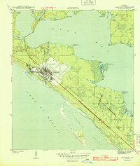
1944 · Long Point
USGS Topo · 1:31,680
1945 · Allanton
USGS Topo · 1:31,680

1945 · North Of Allanton
USGS Topo · 1:31,680
1945 · Parker
USGS Topo · 1:31,680

1947 · Allanton
USGS Topo · 1:25,000

1949 · Apalachicola
USGS Topo · 1:250,000