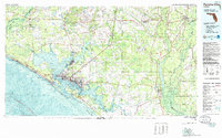
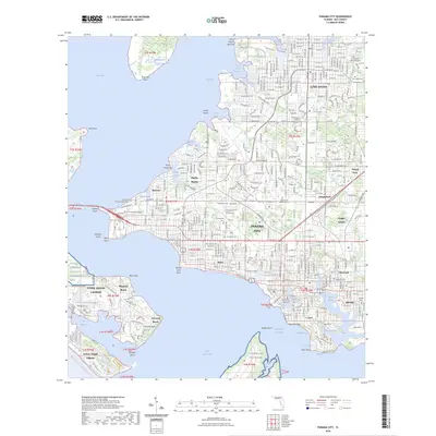
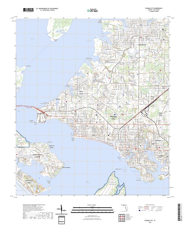
1981 Map of Panama City
USGS Topo · Published 1985About this map
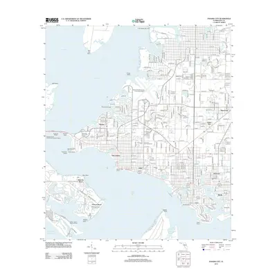
The complex shoreline of St Andrews Bay dominates this coastal survey, where the growing urban center of Panama City is flanked by several satellite communities including Springfield, Lynn Haven, and Parker. This era of the Florida Panhandle shows a landscape defined by significant military and maritime infrastructure, with Tyndall Air Force Base stretching across the peninsula to the south and the Naval Coastal Systems Center positioned along the bay.
Find a feature on this map
85 named features on this map. Tap any name to fly to it.
Don’t see what you’re looking for? This feature index may not catch every label — zoom into the map to look around manually.
Map Details
Editions of this 1981 Panama City Map
2 editions found

Historical Maps of Panama City Through Time
10 maps found
1943 Panama City
Bay County, FL
1956 Panama City
Bay County, FL
1981 Panama City
Bay County, FL
1982 Panama City
Bay County, FL
2012 Panama City
Bay County, FL
2015 Panama City
Bay County, FL
2018 Panama City
Bay County, FL
2021 Panama City
Bay County, FL
2024 Panama City
Bay County, FL
2025 Panama City
Bay County, FL