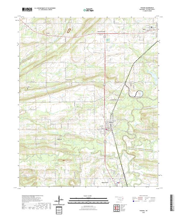
2022 Map of Panama
USGS Topo · Published 2022About this map
The Poteau River winds through the eastern portion of this Le Flore County landscape, anchoring a region defined by its coal-mining heritage and small-town junctions. In Panama, the street grid centers on Main St and Choctaw St, while to the north, the town of Spiro serves as a local hub near the Spiro City Cem. The terrain is shaped by the prominent Nubbin Ridge, which runs east-to-west above Carter Lake. Small outlying settlements like Ward, Bedwell, and Sunset Corner are connected by a dense network of county roads including Rock Jail Rd and Prairie Bell Rd. This map captures the modern distribution of family cemeteries and local water bodies such as Brazil Creek and Coal Creek, which continue to define the rural character of this Oklahoma river valley.
Find a feature on this map
110 named features on this map. Tap any name to fly to it.
Don’t see what you’re looking for? This feature index may not catch every label — zoom into the map to look around manually.
Map Details
Editions of this 2022 Panama Map
This is the sole edition of this map. No revisions or reprints were ever made.
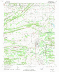
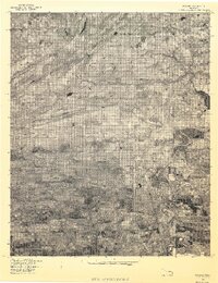
Historical Maps of Poteau Through Time
3 maps found