1977 Map of Panama
USGS Topo · Published 1977About this map
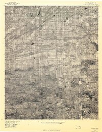
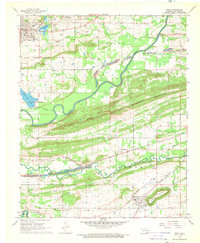
The town of Panama serves as a central hub in this 1977 aerial survey of Le Flore County, Oklahoma, positioned just north of the winding Brazil Creek. The landscape transitions from the residential patterns of the town center to the sharp, linear rise of Nubbin Ridge, which dominates the northwestern portion of the map. This orthophotoquad captures a distinct moment in time where the local agricultural economy meets the natural hydrological systems of the region. To the east and south, the Poteau River and James Fork create a complex network of oxbows and riparian curves, illustrating the dynamic nature of the river valley. The proximity of Shady Point to the south and the rural crossroads of Sunset Corner to the north highlights the distributed settlement pattern common in this part of the state during the late 1970s.
Find a feature on this map
8 named features on this map. Tap any name to fly to it.
Don’t see what you’re looking for? This feature index may not catch every label — zoom into the map to look around manually.
Map Details
Editions of this 1977 Panama Map
This is the sole edition of this map. No revisions or reprints were ever made.
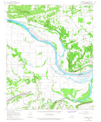
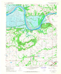
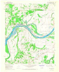
Other maps of this area

1900 · Sallisaw
USGS Topo · 1:125,000

1911 · Sallisaw
USGS Topo · 1:125,000

1946 · Fort Smith
USGS Topo · 1:250,000

1965 · Fort Smith
USGS Topo · 1:250,000
1966 · Muldrow SW
USGS Topo · 1:24,000

1967 · Fort Smith
USGS Topo · 1:250,000
1967 · Robert S Kerr Dam
USGS Topo · 1:24,000
1967 · Fort Coffee
USGS Topo · 1:24,000
1968 · Spiro
USGS Topo · 1:24,000
1968 · Panama
USGS Topo · 1:24,000